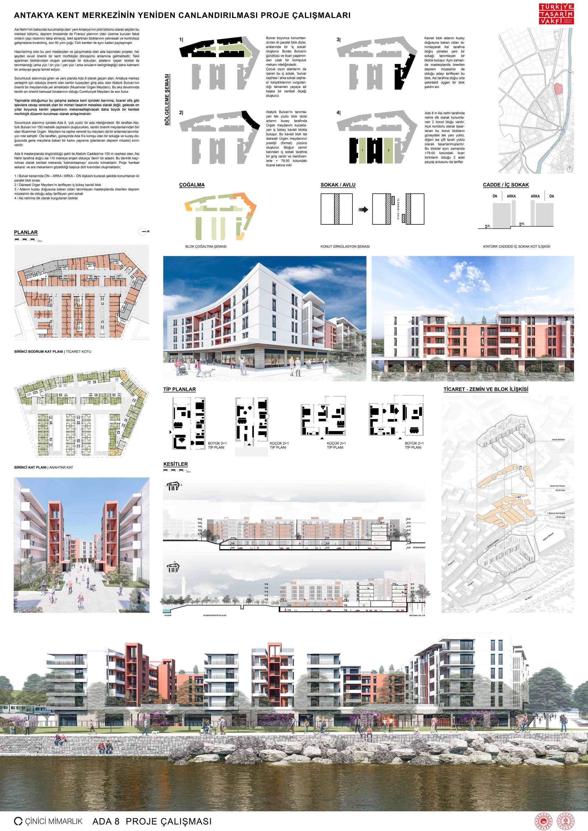
URBAN BLOCK 8

This central section, which was chosen as the pilot section of the new Antakya to be built on the west of the Orontes River, shared the same fate as most Turkish cities of the last 50 years, having been built on the traces of the French plan before the earthquake but did not follow their building order and was left to the uniform and uncontrolled development of individual apartment blocks.
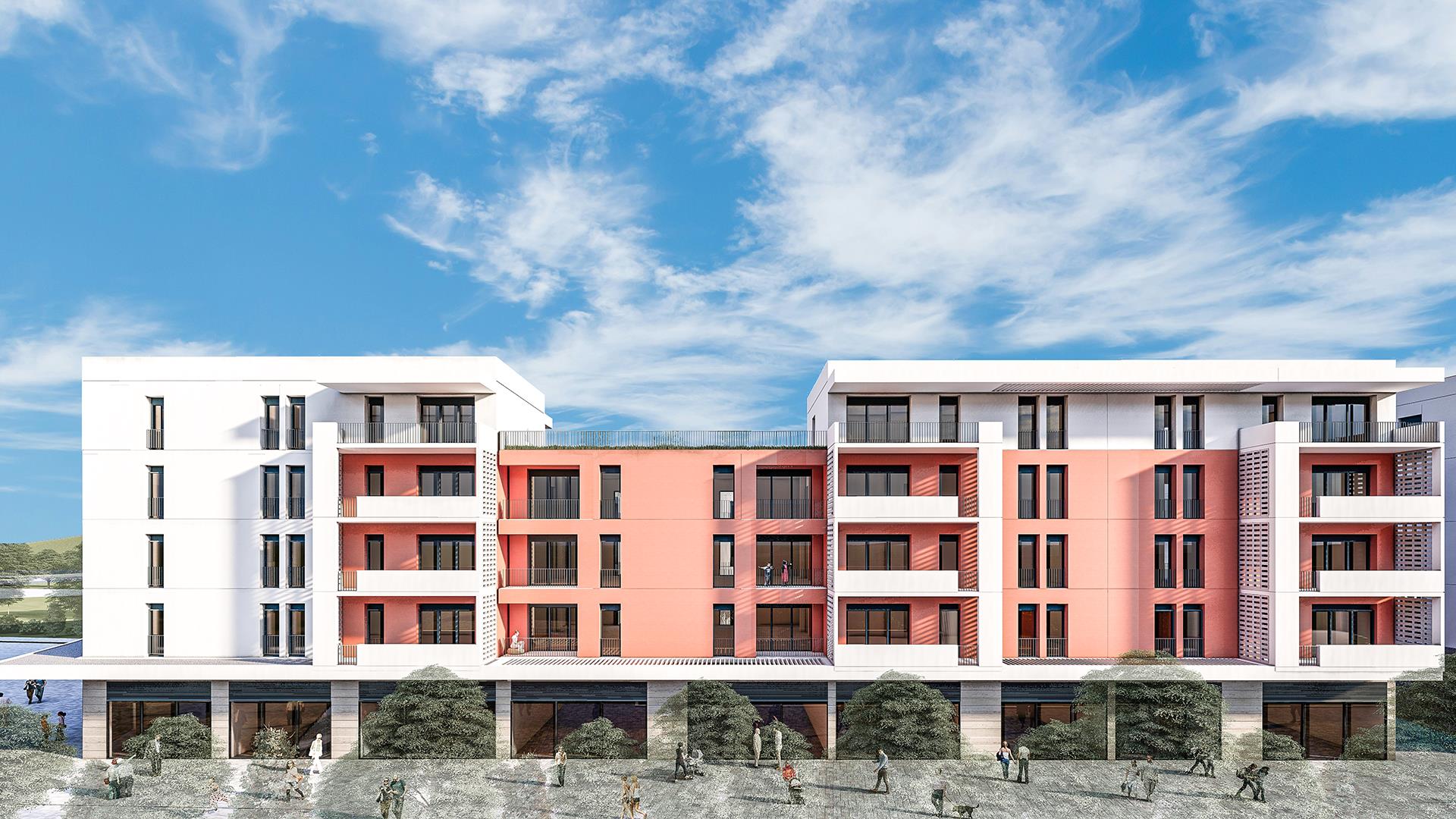
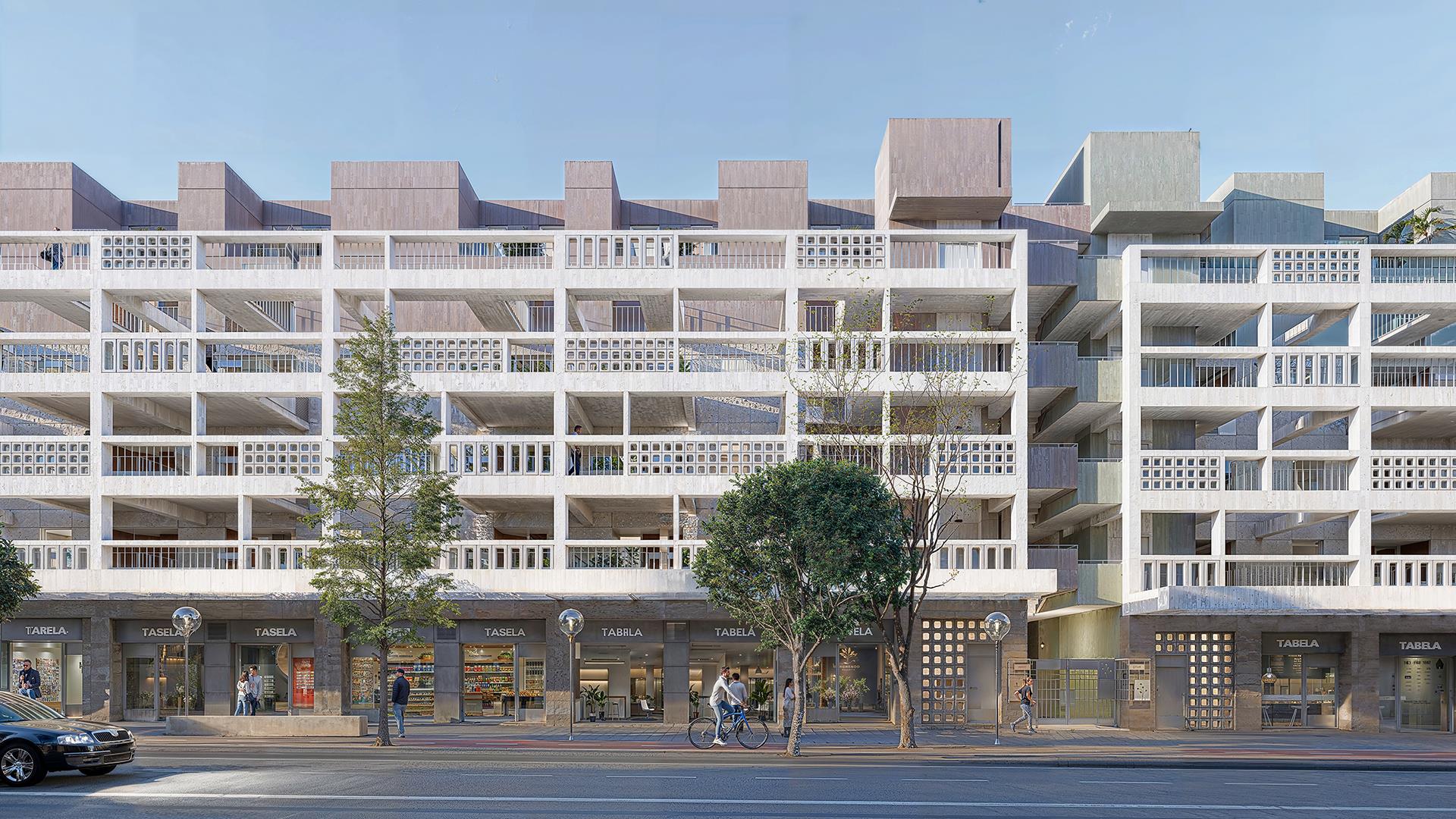
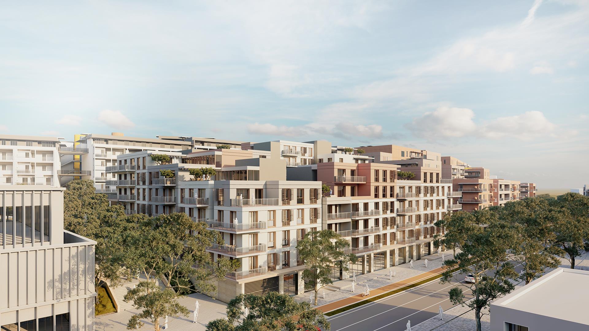
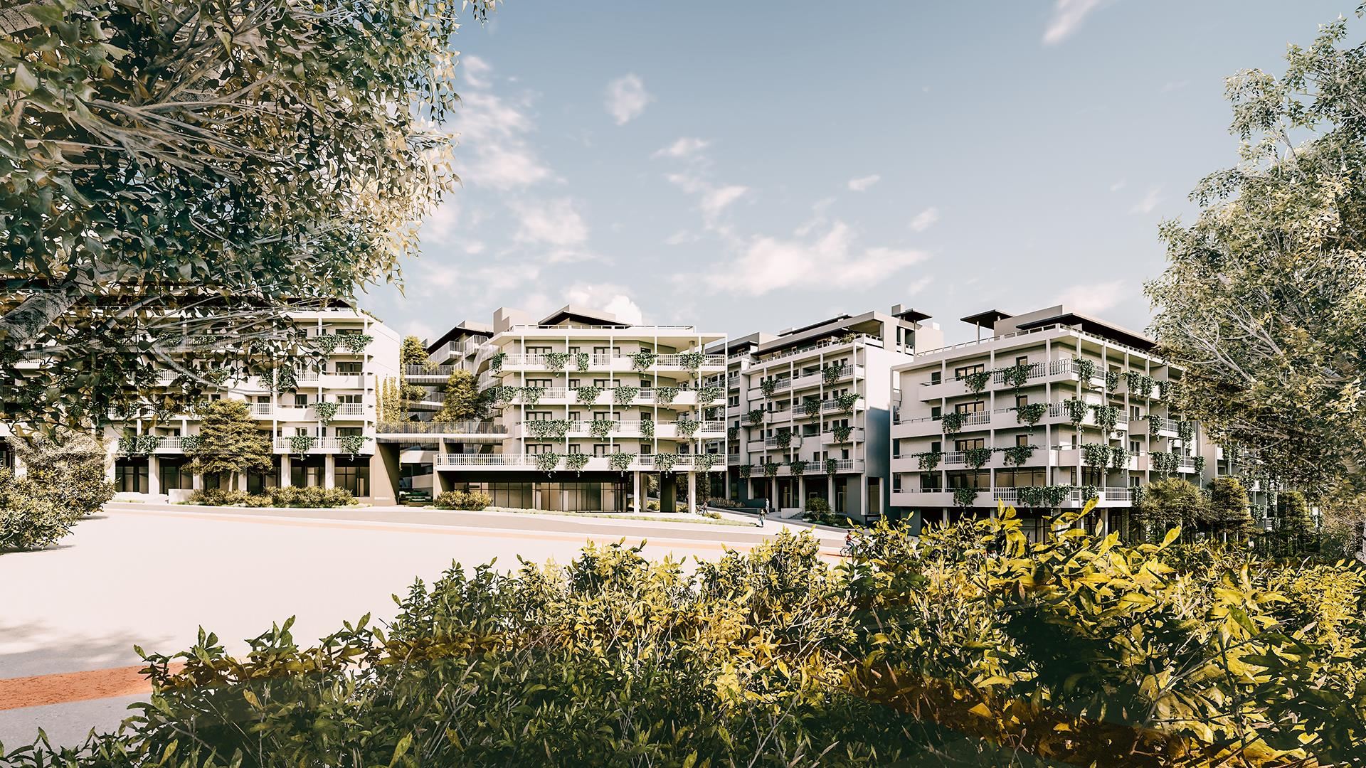
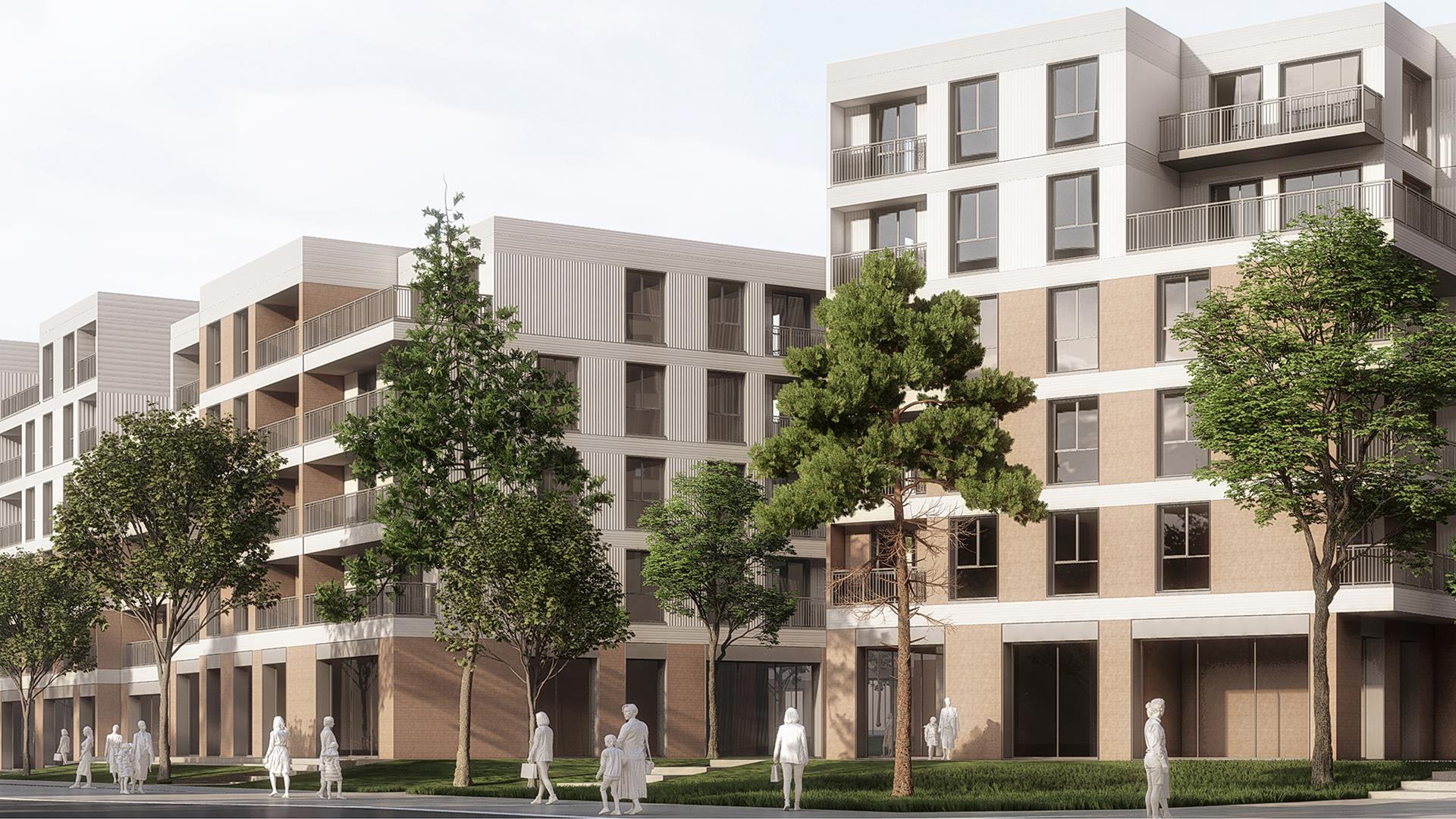
This new master plan and the urban block-based projects that are being worked on mean an important transformation of urban morphology above all else. It represents a transition from a uniform texture of single apartment blocks to a more layered understanding in which the islands are defined by ‘Wall’ blocks (with the back face / front face / side face / back courtyards becoming prominent).
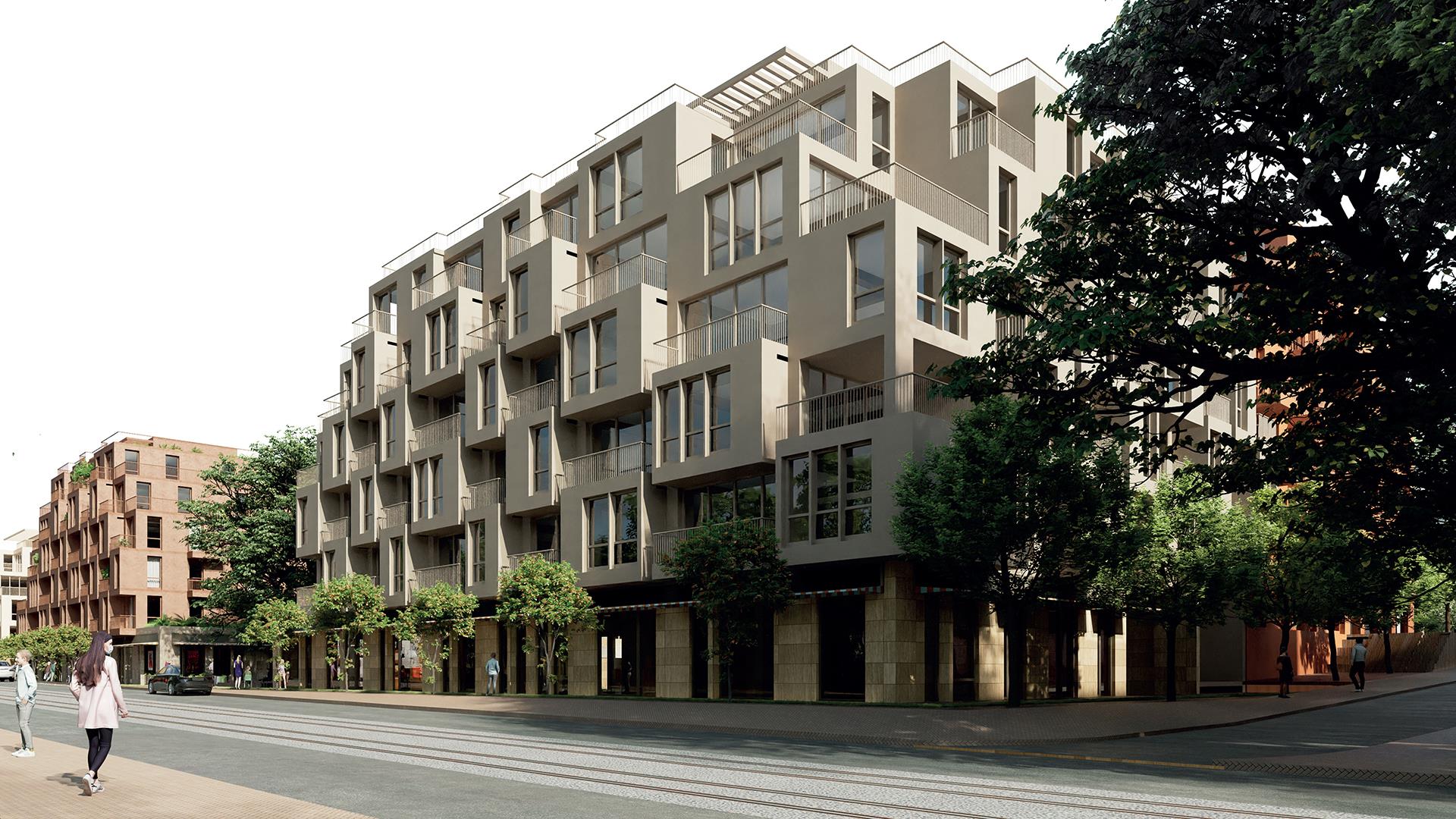
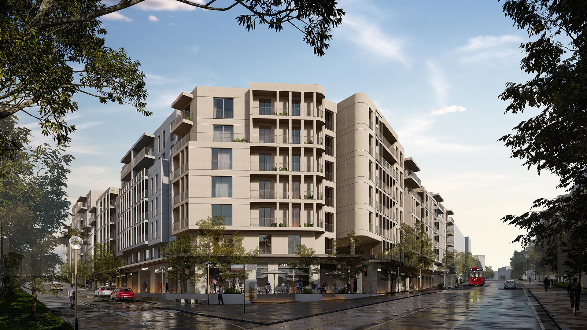
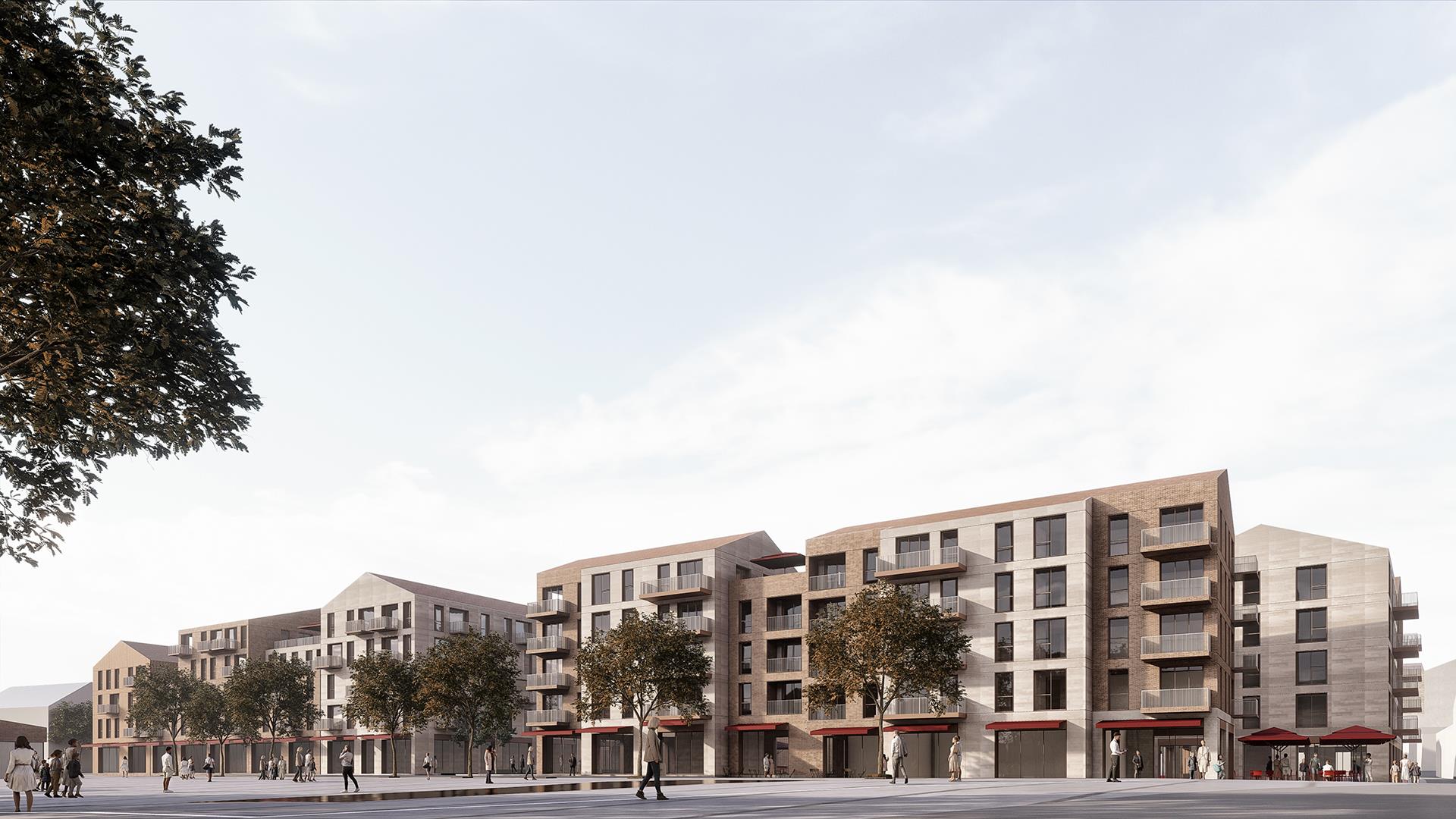
The area, which falls under our area of responsibility and is referred to as urban block 8 in the new plan, is located in an important square of Atatürk Boulevard, which is the northern entrance axis of the city, which is very important for the central settlement of Antakya (Muammer Ürgen Square). This axis ends with the Cumhuriyet Square, where the most important public buildings of the city are located.
This work we are doing should not only be understood as a matter of architectural design that will respond to functions such as housing, trade and office in the city, but also as the establishment of a larger urban morphological order that will spatialize the life of the city for decades to come.
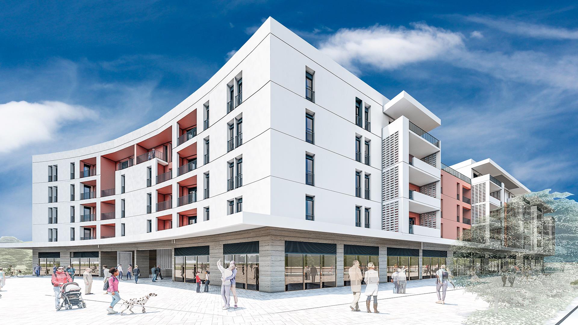
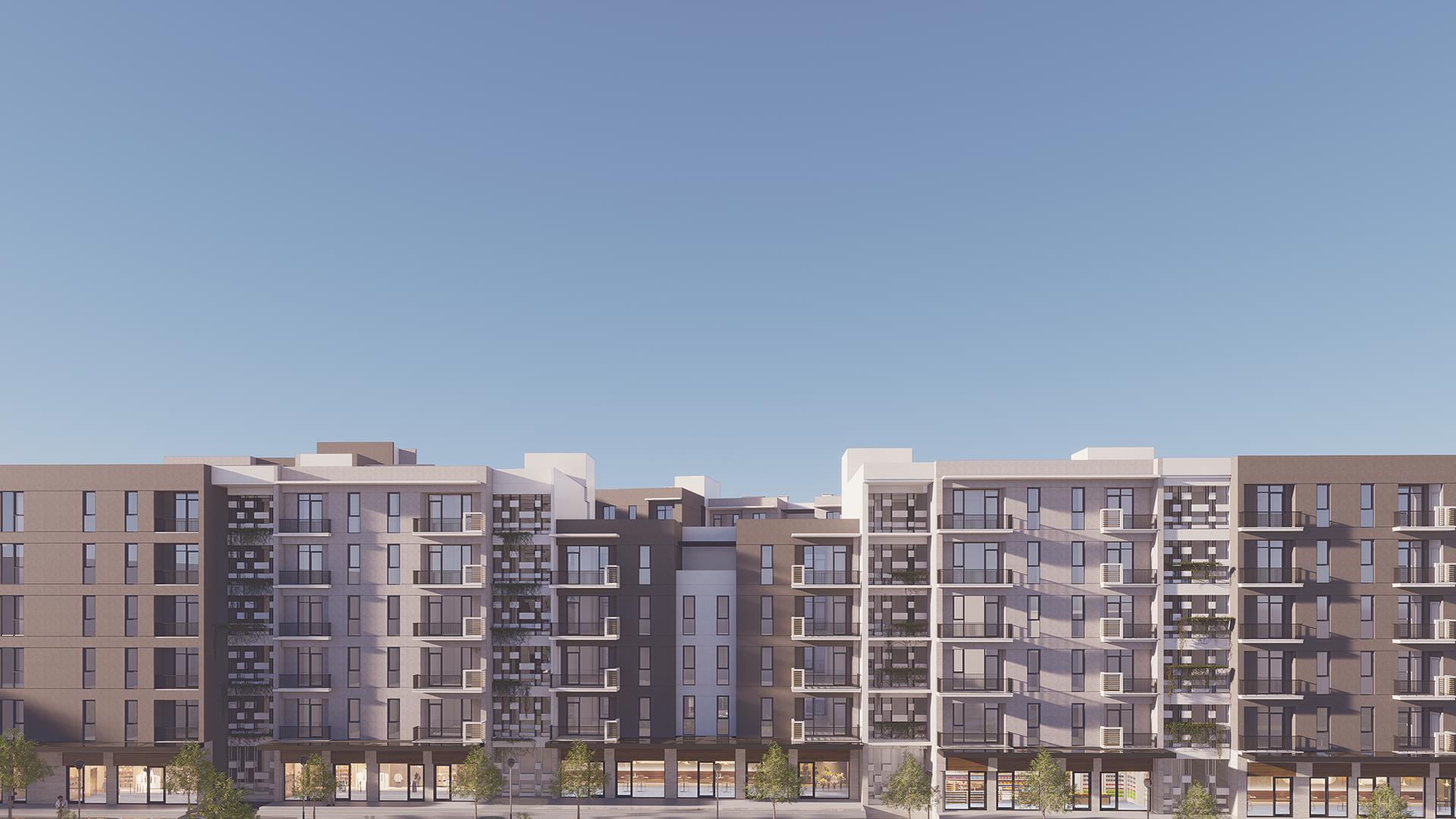
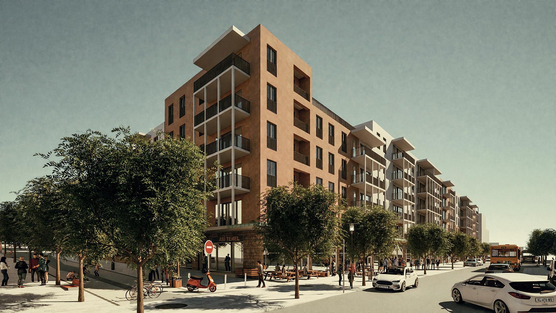
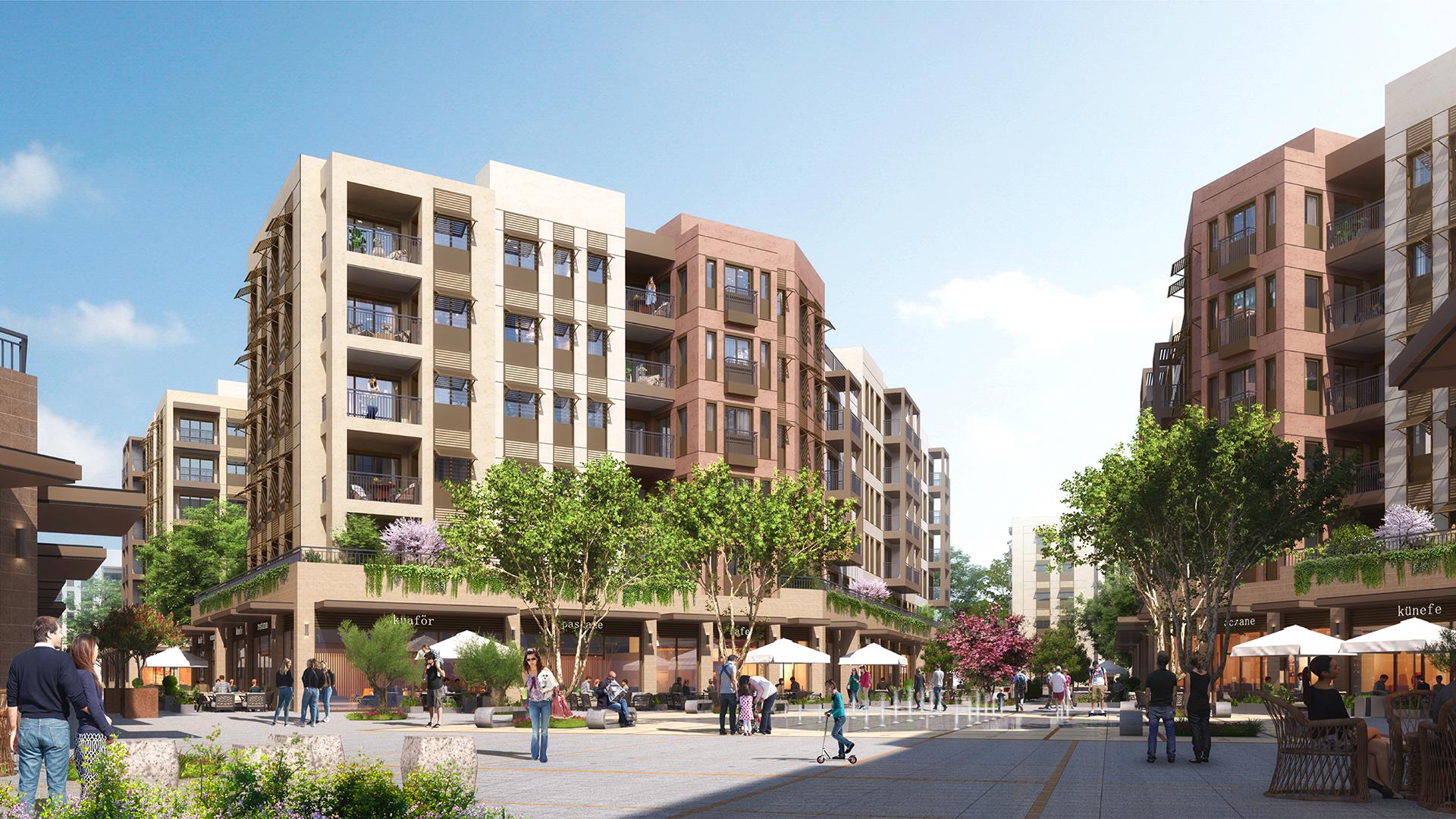
Urban block 8, which is within our area of responsibility, is a ‘many-faced’ island. On the one hand, while forming the 150-meter façade of Atatürk Boulevard, it also has a defining role in a sense by fronting Muammer Ürgen Square, one of the important squares of the city. On the other hand, it borders a street adjacent to Island 9 to the south and a public building (planned earthquake museum) to the northeast, which also overlooks the square.
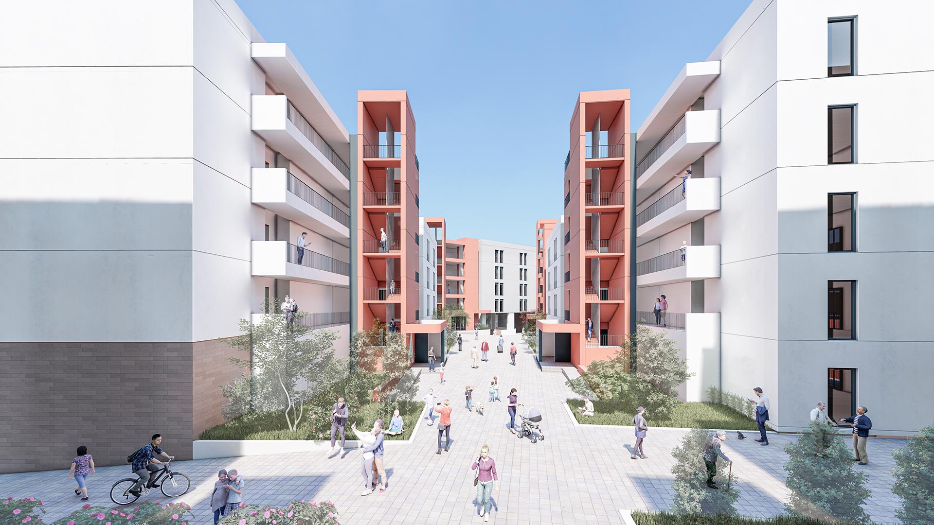
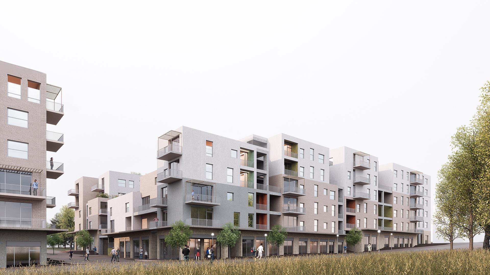
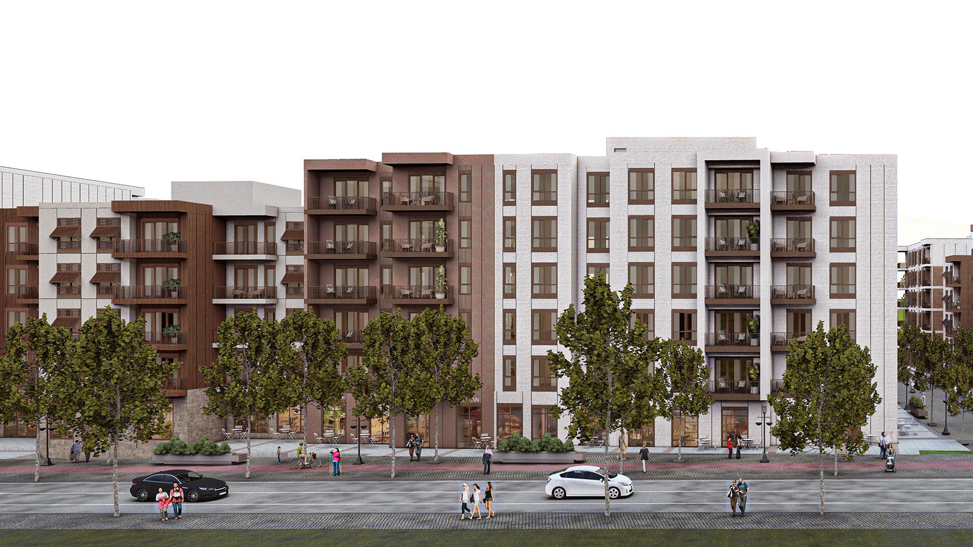
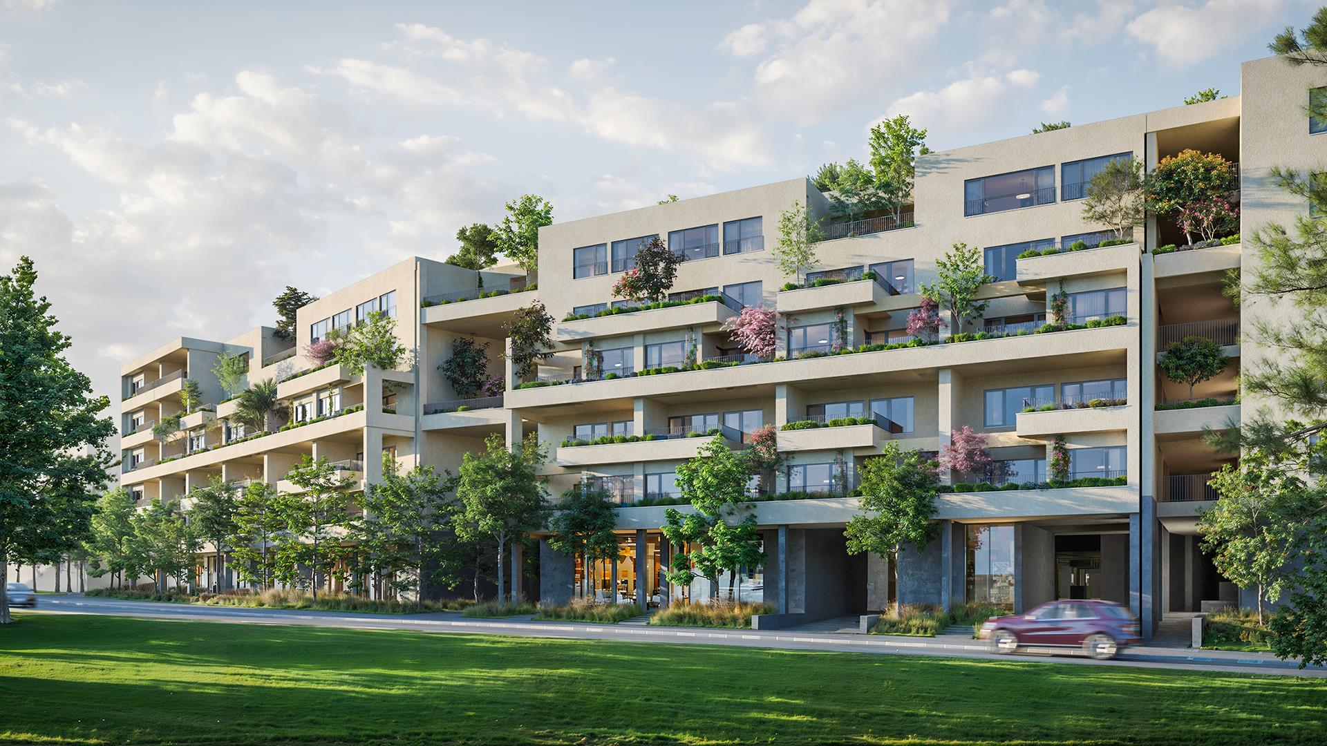
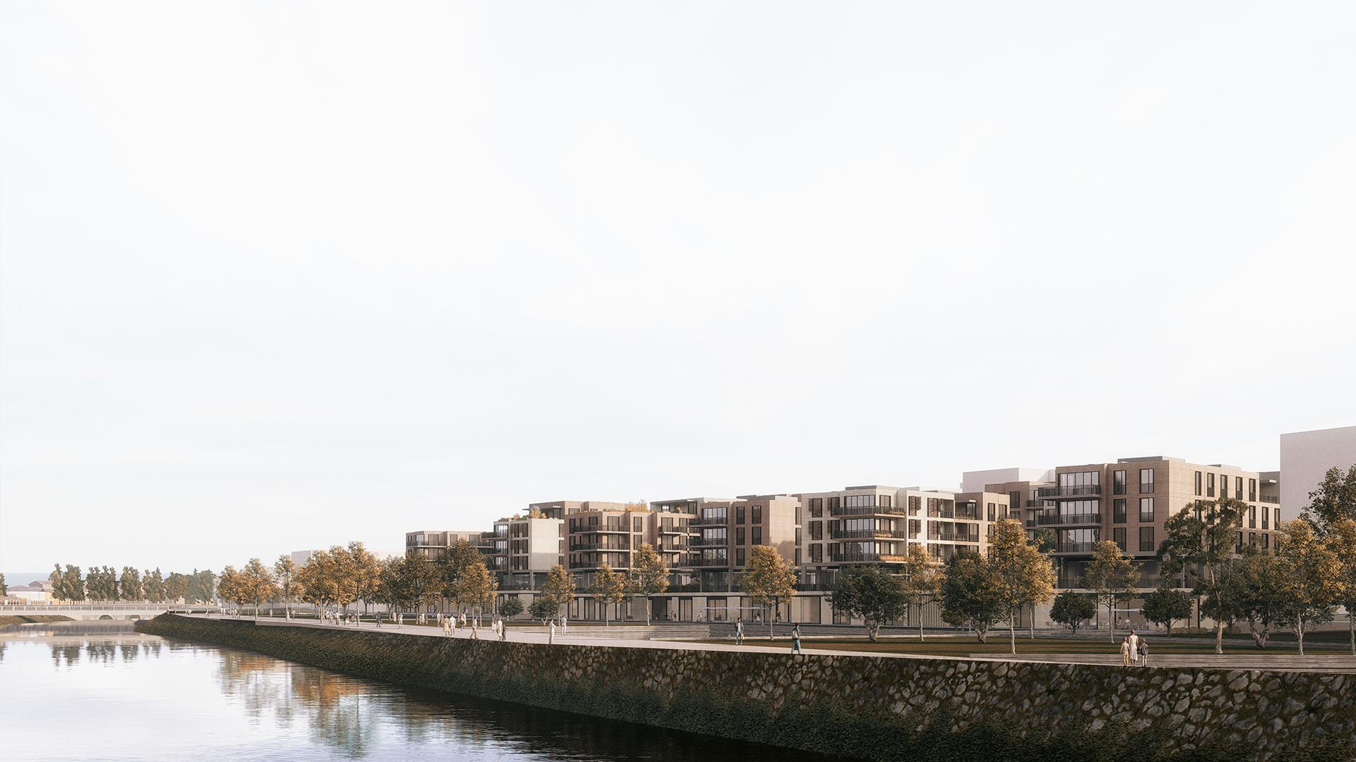
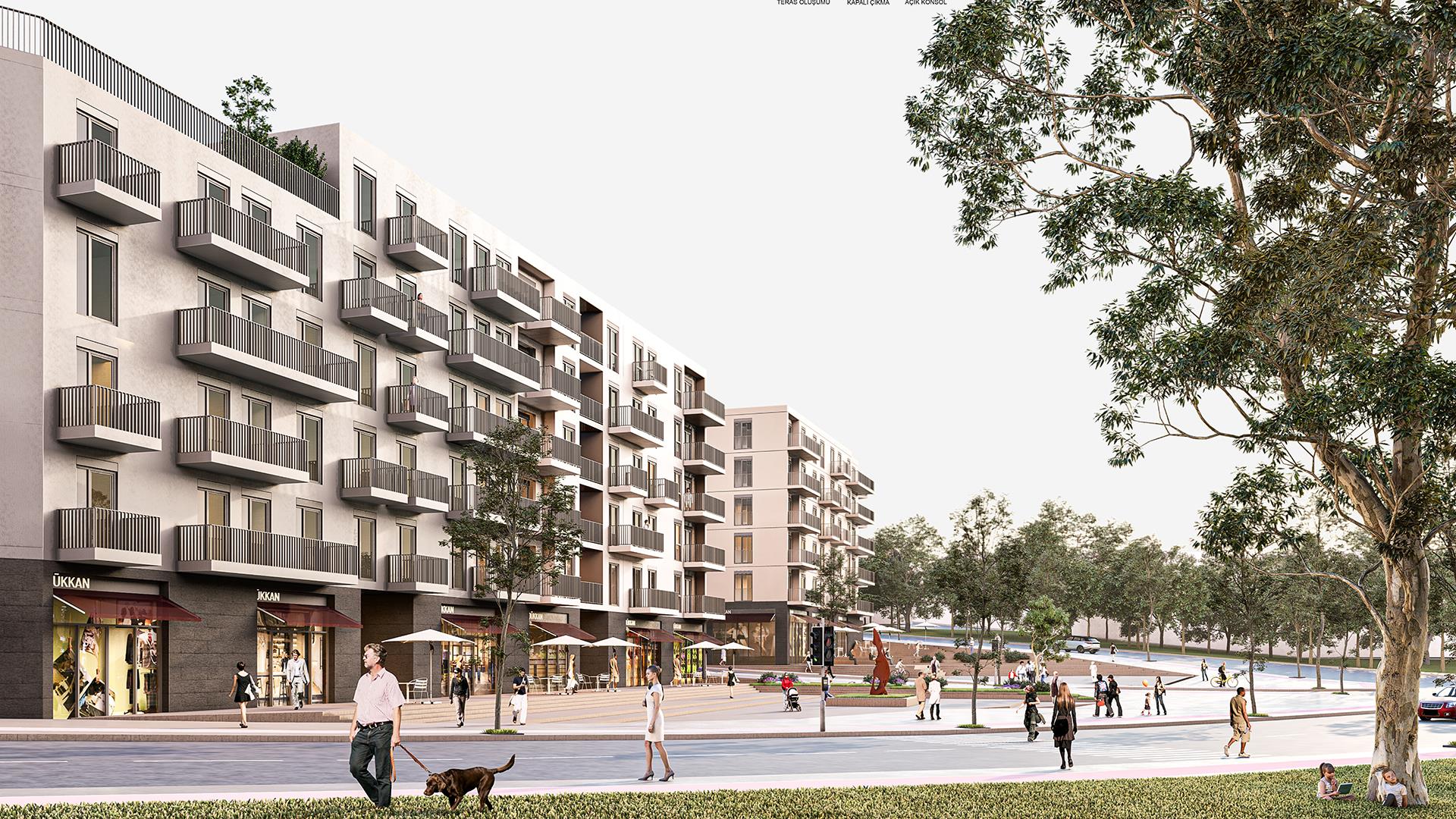
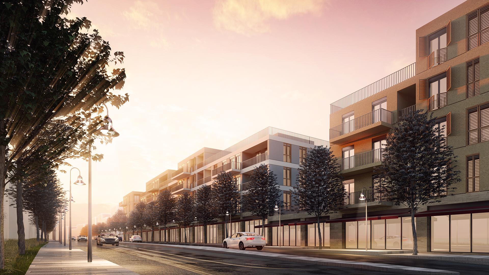
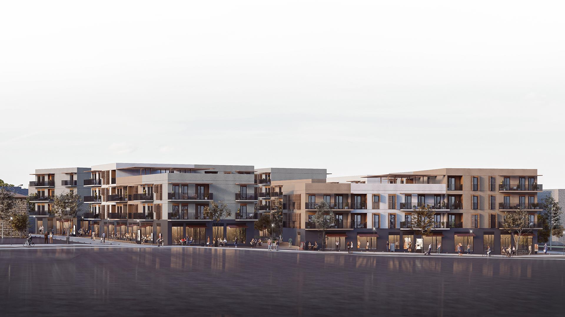
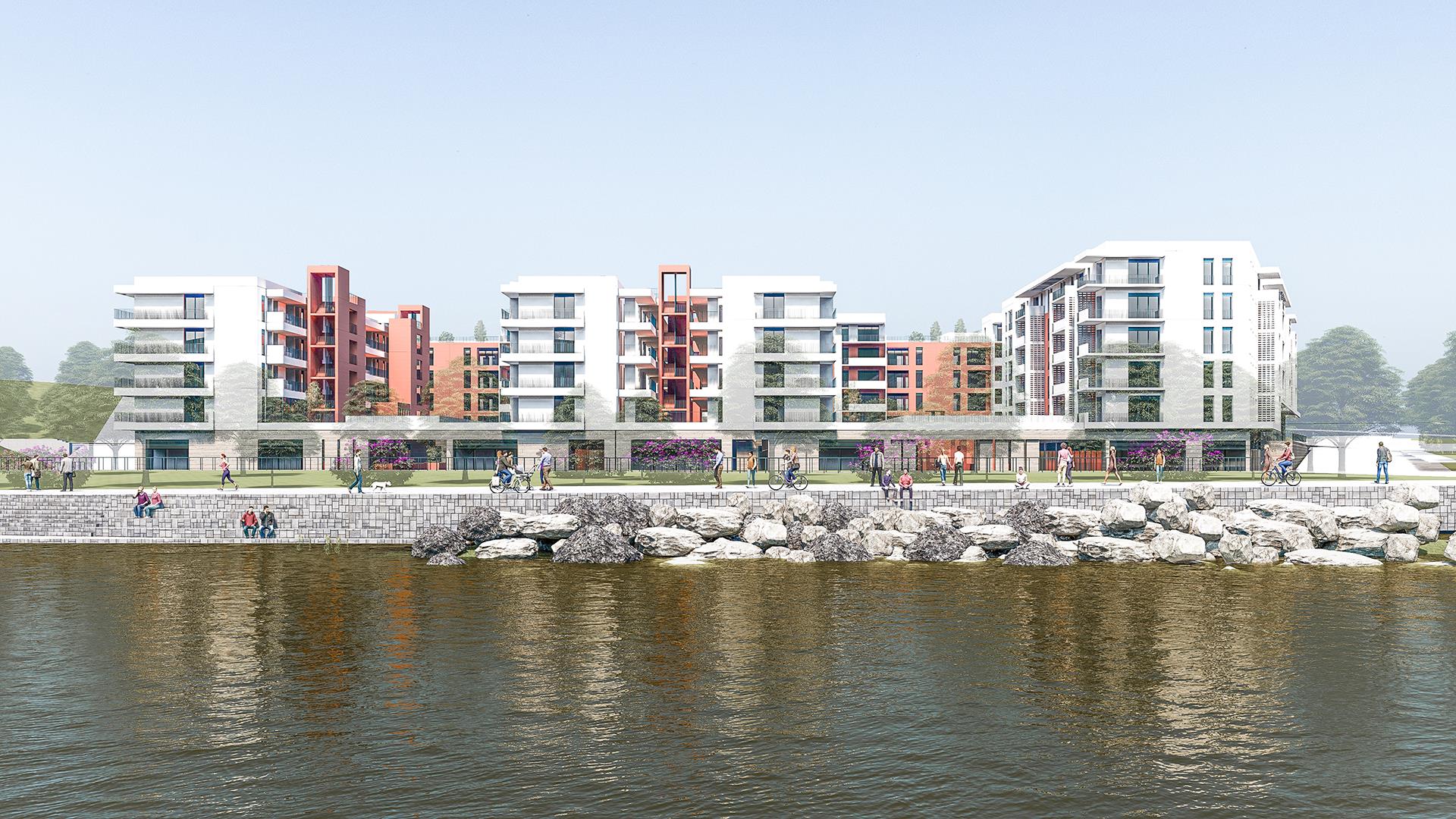
The urban block is a very ‘deep’ island with a 150m frontage to Atatürk Street and 110 meters towards the Orontes River, as envisaged in the 8 master plan. This depth inevitably necessitates ‘stratification’ in urban space. The project consists of four main parts, where the ‘urban sequence’ and intermediate spaces are taken into account:
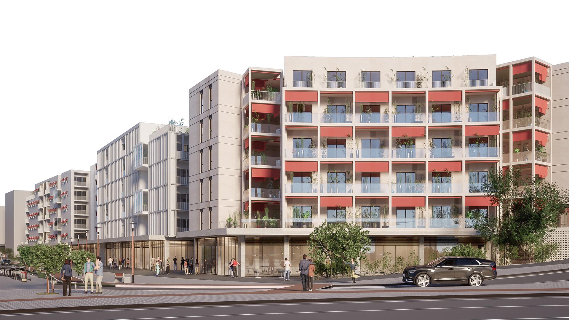
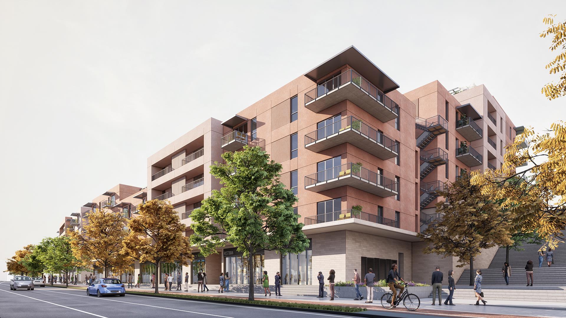
1- Two parallel rows of blocks located on the side of the boulevard in such a way as to establish the FRONT - REAR / REAR - FRONT relationship
2- Concave curved block describing the circular Ürger Square
3- A new street that defines the wall facing the northeast of the urban block, including the earthquake museum proposed in the master plan,
4- Blocks built perpendicular to the Orontes River.